A behind-the-scenes look at the manhole sequencing system and its purpose in inspection, maintenance, and emergency planning
Manhole Numbering Systems: What They Reveal About Sewage Network Planning and Maintenance in Asaba, Nigeria
By John Cee Onwualu (FNSE, FNICE, FNIWE, P.E., R.ENG, MASCE)
The rapid urbanization of Asaba, the capital of Delta State, Nigeria, has brought with it an urgent need for sophisticated infrastructure management. As the city expands along the banks of the River Niger, the complexity of its underground utilities—specifically its wastewater and drainage networks—gathers pace. At the heart of this invisible yet vital system lies a tool often overlooked by the casual observer: the manhole numbering system.
Far from being mere serial numbers, these codes serve as the DNA of the city’s hygiene and flood-prevention infrastructure. In this comprehensive guide, we explore how manhole numbering systems work, their specific application within the Asaba sewage layout, and what these systems reveal about the future of urban planning in Nigeria.
Core Manhole Numbering: The Language of Urban Infrastructure
To understand the sewage network of a city like Asaba, one must first learn the language of the manhole numbering system. These codes are not assigned at random; they are part of a standardized geospatial framework designed to provide immediate information to engineers, maintenance crews, and urban planners.
Manhole Numbering System Basics
At its most fundamental level, a manhole numbering system is a unique identification protocol used to catalog every access point in a sewer or storm drain network. In Asaba, as in most professionally planned urban centers, the basics involve a combination of alphanumeric strings (MH-059 to MH-081). These strings usually denote the catchment area, the specific pipe branch, and the sequential position of the manhole along that line.
How Manhole Numbers Work
Think of a manhole number as a digital address. When a technician looks at a tag, they are seeing a snapshot of the manhole’s location in the hierarchy of the grid. For instance, a code might begin with a prefix like “ASB-NNE,” signifying the “Asaba-Nnebisi Road” sector. This is followed by a numeric sequence that indicates the flow direction—usually increasing as the pipe moves downstream toward a treatment plant or discharge point.
Manhole ID Codes Explained
A standard manhole ID code typically comprises four parts:
- Prefix (Area Code): Identifies the neighborhood or administrative zone.
- Asset Type: Distinguishes between storm drains, foul sewers, or combined systems.
- Sequence Number: The specific number of the manhole on that specific street or run.
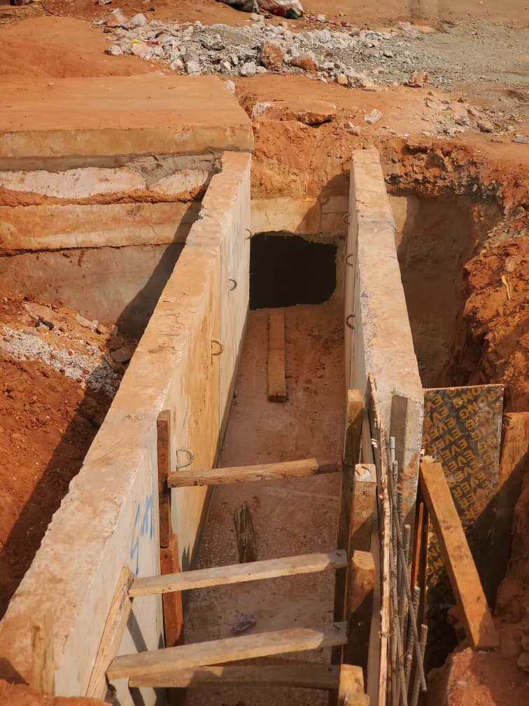
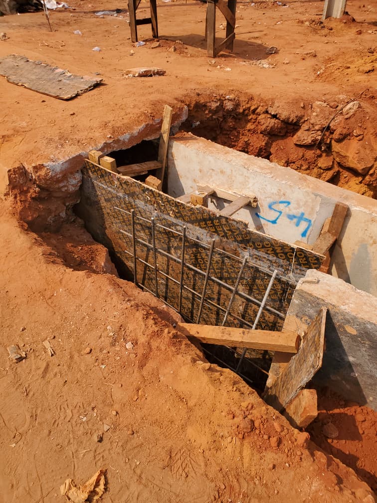
- Special Indicators: Codes that might denote a “drop manhole” (where the pipe elevation changes significantly) or a “junction manhole.”
Types of Manhole Labels and Standards
There are various types of manhole labels used globally, ranging from stamped metal tags to permanent paint or engraved concrete. In Delta State, sewage planning increasingly leans toward durable materials that can withstand the tropical climate and high humidity.
Standardization is critical. A manhole numbering standard ensures that if a maintenance team from another region comes to support local Delta State workers, they can interpret the map and the physical tags without ambiguity. This prevents “lost” manholes—assets that are covered by asphalt or soil and forgotten over decades—which can lead to catastrophic system failures.
Asaba Sewage Planning: Mapping a Rising Capital
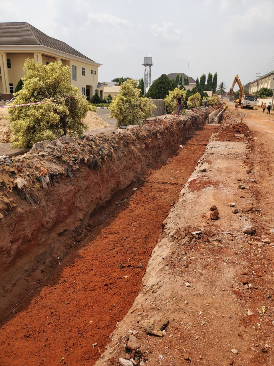
The sewage network map of Asaba is a reflection of the city’s history, topography, and legislative priorities. Since becoming the capital of Delta State, Asaba has transitioned from a series of traditional settlements into a sprawling metropolitan hub. This growth necessitates a rigorous Asaba wastewater layout.
Delta State Sewer Planning and the Asaba Grid
Sewer planning in Delta State is a collaborative effort between the Ministry of Water Resources, the Ministry of Environment, and urban development agencies. The challenge in Asaba is its proximity to the River Niger. The city’s underground pipe plan must account for seasonal water table fluctuations and the natural slope of the land.
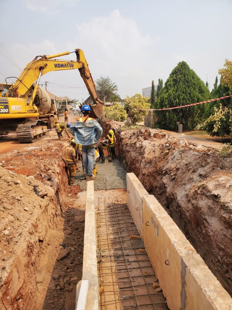
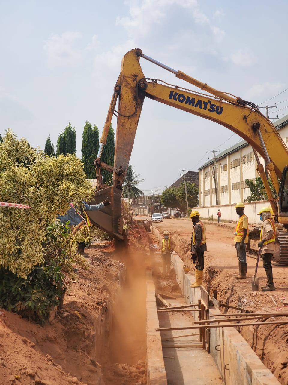
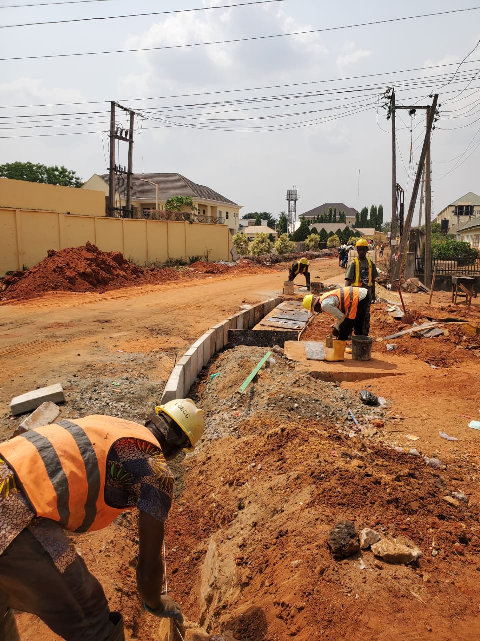
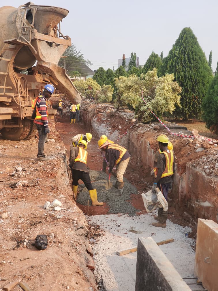
The local sewer grid in Asaba is designed to channel wastewater away from residential zones like Okpanam and the Government House area toward designated treatment or management facilities. Manholes play a pivotal role here; they are the nodes where individual household lines meet the municipal arterial mains.
Manhole Roles in Asaba Drains
In the context of Nigeria’s city sewage design, manholes in Asaba serve three primary roles:
- Ventilation: Allowing gases like methane and hydrogen sulfide to escape safely.
- Change of Direction: Acting as the turning points for pipes, as large-diameter sewage pipes rarely curve.
- Access: Providing a portal for cleaning equipment and inspection cameras (CCTV).
The Asaba sewage planning logic utilizes manhole tags to ensure that the “Asaba underground pipe plan” remains a living document, updated whenever a new estate or commercial center is connected to the grid.
Maintenance from Numbers: The Key to System Longevity
The true value of a manhole numbering system is revealed during a crisis. When a block occurs or a pipe bursts, the speed of the response depends entirely on the accuracy of the manhole codes for repairs.
Tracking Issues and Routine Sewer Checks in Asaba
In many parts of Nigeria, track manhole issues are managed through physical ledgers, but Asaba is moving toward digitized asset management. By using the “manhole tags signal problems” approach, workers can log specific issues—such as root intrusion, siltation, or structural cracks—against a specific ID.
Routine sewer checks in Asaba are scheduled based on the data gathered from these IDs. For example, if manholes ASB-S04 through ASB-S12 consistently show high silt levels, the maintenance schedule for that specific sector is increased from bi-annually to quarterly.
Decoding Maintenance Needs and Upkeep Clues
An experienced engineer can “decode maintenance needs” just by looking at the sequence. If a downstream manhole is dry while an upstream one is overflowing, the ID codes immediately isolate the segment of pipe that requires “jetting” (high-pressure water cleaning).
Table 1: Standard Manhole Coding and Maintenance Logic
| Code Component | Example | Feature Identified | Maintenance Clue/Standard |
|---|---|---|---|
| Zone Code | GRA | Government Reserved Area | High-priority residential maintenance |
| Pipe Type | SW | Storm Water | Check for debris after heavy rains (April–Oct) |
| Sequence | 024 | 24th node in the run | Helps locate the exact burial depth via master map |
| Condition Tag | (R) | Reinforcement required | Indicates structural integrity issues |
| Access Type | C | Concentric | Standard manhole; easy access for robots |
Local Infrastructure Insights: The Anatomy of Asaba’s Drains
The local infrastructure in Asaba provides unique insights into how West African cities are tackling the “hidden” side of modernization.
Asaba Manhole Cover Details
Walk down Nnebisi Road or through the capital’s inner streets, and you will see various manhole covers. These covers often indicate the age of the infrastructure. Older sections of the Asaba pipe network history might feature simple concrete slabs, while newer developments utilize heavy-duty cast iron covers stamped with Delta State insignia.
Sewage Access Points and Public Use
While manholes are primarily for engineers, they are also “sewage access points” for residents in terms of reporting issues. If a resident notices a foul odor or an overflow near a specific manhole, they can report the number on the tag to the municipal authorities, ensuring a faster response than a vague description like “the street near the market.”
The use of manhole maps for public use is still in its infancy in Nigeria, but it is a growing trend. Mapping the urban drain systems allows businesses to understand the flood risks and utility availability of a site before they break ground on new constructions.
Broader Network Tips: Best Practices for Nigerian Urban Centers
Planning a city’s sewage with manhole tags is not just a technical requirement; it is an economic necessity. For cities across Nigeria, from Lagos to Enugu, the lessons from Asaba’s evolving system can be applied as best practices.
Mapping Networks Using Manholes
One of the most effective ways to map networks is through GIS (Geographical Information Systems). By georeferencing every manhole ID, planners create a digital twin of the city. This allows them to:
- Identify bottlenecks before they cause flooding.
- Simulate the impact of new developments on existing pipe capacity.
- Fix leaks from manhole clues by monitoring flow volume variations between two points.
Wastewater ID Systems and Fix Leakage Protocols
A robust wastewater ID system allows for “predictive maintenance.” Instead of waiting for a pipe to fail, authorities can use “upkeep clues in manhole IDs” to identify areas where the infrastructure is reaching the end of its life cycle.
Summary of Best Practices:
- Consistency: Use the same urban pipe labeling guide across all districts to avoid confusion.
- Durability: Ensure manhole tags are made of non-corrosive materials.
- Digitization: Move from paper maps to digital databases where manhole IDs can be searched instantly.
- Training: Ensure that local “sewage fix schedules” are dictated by the data gathered from manhole inspections.
Conclusion: The Backbone of a Modern Asaba
The manhole numbering system in Asaba, Nigeria, is much more than a collection of random digits. It is a sophisticated management tool that reveals the hidden logic of the city’s sewage network planning and maintenance. By providing a clear framework for identifying, tracking, and repairing infrastructure, these systems ensure that Asaba remains a liveable, hygienic, and resilient capital city.
As Delta State continues to invest in urban infrastructure, the focus on “intelligent” sewage design—powered by standardized manhole IDs—will be the difference between a city that struggles with its growth and one that thrives. For the engineers, planners, and citizens of Asaba, the humble manhole is a vital link to a cleaner, more sustainable future.
Understanding these systems is the first step in appreciating the complex engineering that keeps our streets dry and our communities healthy. The next time you see a labeled manhole in Asaba, remember: you are looking at a crucial piece of the city’s diagnostic engine.
References
1. https://gjeta.com/sites/default/files/GJETA-2024-0030.pdf
2. https://www.scribd.com/document/405249473/Cover-Level-Diff
3. https://gjeta.com/content/mapping-and-analysis-urban-drainage-system-asaba-metropolis-delta-state-using-remote-sensing
4. https://www.scribd.com/document/23745978/Inspection-Method-Statemen2
5. https://legacy.winnipeg.ca/finance/findata/matmgt/std_const_spec/current/Docs/CW2145.pdf
6. https://punchng.com/death-lurking-on-pavements-open-manholes-threaten-lives-in-asaba/
7. https://www.vapar.co/manhole-inspection-maintenance/
8. https://journals.plos.org/plosone/article?id=10.1371%2Fjournal.pone.0248893
9. https://www.scribd.com/document/399890664/M02
10. https://www.sfcsd.net/files/869ef8d50/Standard+Detail+Drawings+Sept+2023,+Combined.pdf
11. https://nogp.nigerstate.gov.ng/wp-content/uploads/NIGER-STATE-URBAN-DEVELOPMENT-BOARD-BUILDING-REGULATIONS-2023.pdf
12. https://www.scribd.com/document/514826746/ITP-CI-014c-01-Manhole-Construction