Evaluating Hydrological Assumptions in Nigeria’s Drainage Design Codes
Evaluating Hydrological Assumptions in Nigeria’s Drainage Design Codes: A Call for Modernisation in Urban Flood Resilience
By John Cee Onwualu (FNSE, FNICE, FNIWE, P.E., R.ENG, MASCE)
Introduction: The Hidden Flaws Beneath Nigeria’s Flooding Crisis
Every rainy season, Nigeria grapples with devastating urban flooding—homes are submerged, roads turn into rivers, and critical infrastructure is compromised. While poor maintenance and illegal construction often take the blame, a less visible but equally critical culprit lies in the technical foundations of drainage design: outdated hydrological assumptions embedded in national codes.
Nigeria’s current drainage design standards rely heavily on conventional hydrological models and static rainfall data. These assumptions, while rooted in engineering best practices of the past, are increasingly ill-suited to the realities of rapid urbanization, land-use transformation, and climate variability. This blog post critically evaluates the hydrological underpinnings of Nigeria’s drainage design framework—focusing on design storm frequencies, rainfall intensity-duration-frequency (IDF) curves, and the Rational Method—and highlights why an urgent re-evaluation is necessary to prevent recurrent urban floods.
The Current State of Nigeria’s Drainage Design Framework
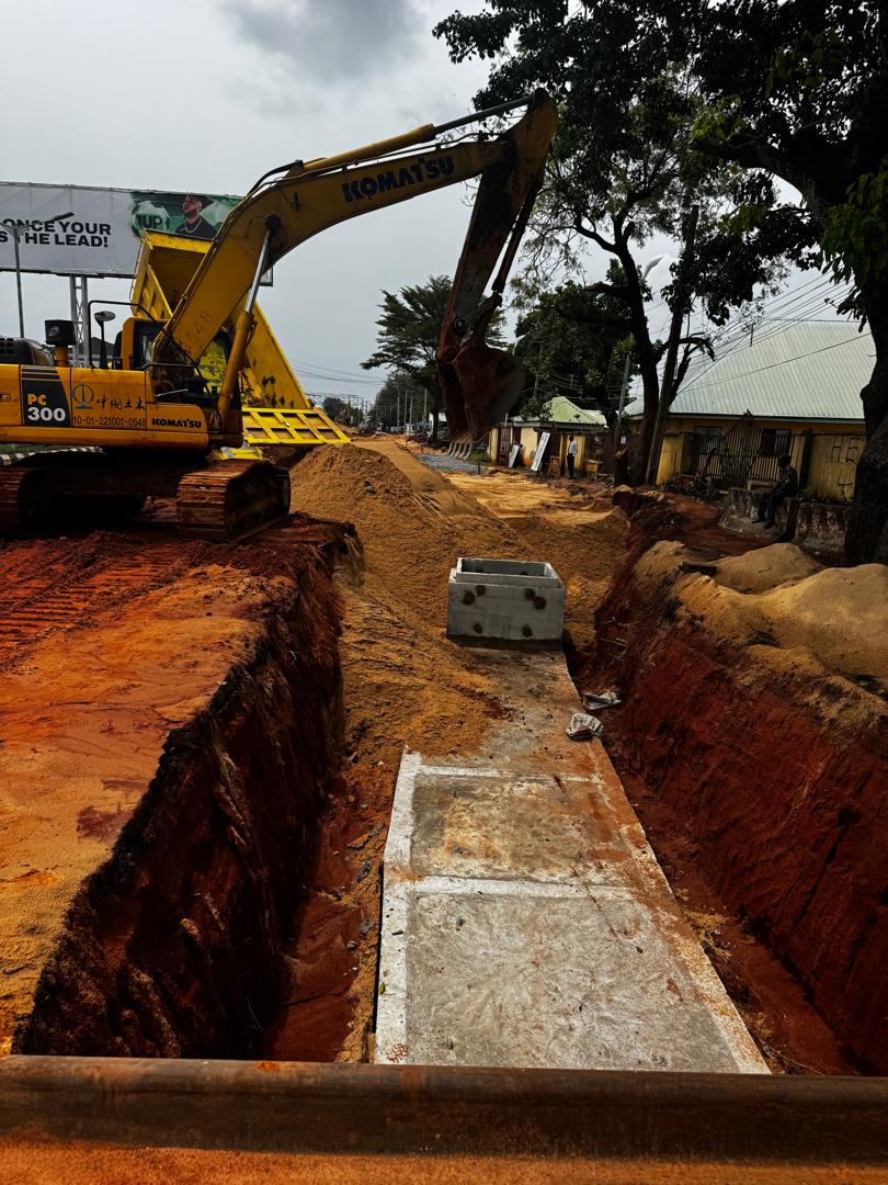
Nigeria’s hydrological design guidelines are formalized primarily in the Nigerian Drainage Design Manual (2013), a key reference for engineers, urban planners, and government agencies. The manual prescribes standardized approaches for estimating stormwater runoff and sizing drainage infrastructure such as culverts, channels, and storm sewers.
At the core of this framework are three fundamental pillars:
1. Design Storm Return Periods
The manual recommends a 10-year return period storm for the design of most urban drainage systems. This implies that the system should safely convey rainfall expected to occur once every decade on average. While this may seem prudent, it falls short when compared to international benchmarks. For instance, developed countries often design for 25-, 50-, or even 100-year storms in high-risk or critical urban areas.
A 10-year standard was perhaps adequate decades ago, but population growth, urban sprawl, and economic concentration have elevated the consequences of flooding—making such conservative designs insufficient today.
2. Rainfall Intensity-Duration-Frequency (IDF) Curves
IDF curves are essential tools for translating statistical rainfall data into design intensities based on storm duration and frequency. These curves are derived from historical rainfall records collected at weather stations across Nigeria.
However, several challenges undermine their reliability:
- Limited number of functional rainfall monitoring stations.
- Historical data scarcity and inconsistent record-keeping.
- Outdated datasets that do not reflect recent shifts in rainfall patterns due to climate change.
In cities like Lagos, Port Harcourt, and Abuja, where the urban heat island effect intensifies local precipitation, using IDF curves based on 30-year-old data can lead to systematic underestimation of peak rainfall intensities—a recipe for undersized drainage systems.
3. The Rational Method for Runoff Estimation
For small urban catchments (typically less than 200 hectares), the Rational Method is widely used to compute peak discharge:
[ Q = C \cdot I \cdot A ]
Where:
- ( Q ) = peak runoff (m³/s)
- ( C ) = runoff coefficient (dimensionless)
- ( I ) = rainfall intensity (mm/hr)
- ( A ) = catchment area (ha)
Despite its simplicity and ease of application, the Rational Method makes several critical assumptions:
- Rainfall intensity is uniform over time and space.
- The entire catchment contributes to runoff simultaneously.
- Runoff coefficient ( C ) remains constant—ignoring seasonal or land-use changes.
In reality, urban landscapes are highly heterogeneous. Impervious surfaces—such as concrete pavements, rooftops, and asphalt roads—have increased dramatically due to haphazard development, raising the ( C )-value beyond assumed levels. Yet, design codes often use outdated runoff coefficients without adjusting for modern urban density.
Evaluation of Existing Assumptions: Where the System Falls Short
Recent studies and field observations paint a troubling picture of how theoretical assumptions diverge from on-the-ground hydrological realities.
1. Urbanisation Outpaces Infrastructure Planning
Nigeria is urbanising faster than any other country in sub-Saharan Africa. Between 1990 and 2020, the urban population grew from 24% to over 52%. This explosive growth has transformed natural watersheds into impervious urban zones, increasing surface runoff volume and reducing infiltration.
Yet, drainage systems continue to be designed using pre-urbanisation hydrology. As noted in a 2023 study published in the International Journal of Research and Publication [3], many cities like Ibadan and Kano now experience peak flows exceeding design capacities by up to 40%, primarily due to unplanned development and inadequate updates to catchment parameters.
2. Climate Change Alters Rainfall Regimes
Climate variability is no longer a future projection—it is a present-day disruptor. Data from the Nigerian Meteorological Agency (NiMET) shows increasing trends in extreme rainfall events, particularly in coastal and southern regions. Short-duration, high-intensity storms are becoming more frequent, overwhelming drainage systems calibrated for longer, distributed rainfall events.
A 2024 review in Climate Services [5] found that IDF curves in Abuja and Lagos underestimated observed rainfall intensities by 15–30% during the 2022 and 2023 flood seasons. This gap directly correlates with widespread flooding even during what should be “manageable” storms.
Moreover, the static nature of return periods fails to account for non-stationarity in climate systems—a concept now widely accepted in hydrology, which posits that historical data alone cannot predict future extremes.
3. Inadequate Spatial and Temporal Rainfall Data
Reliable IDF curves require long-term, high-resolution rainfall data. However, Nigeria’s observational network is sparse and poorly maintained. Many meteorological stations have been non-functional for years, and digital data archiving is inconsistent.
As highlighted by FMHUD (Federal Ministry of Housing and Urban Development) [10], less than 40% of weather stations in Nigeria reported complete datasets between 2010 and 2020. Engineers are thus forced to extrapolate or approximate, introducing significant uncertainty into design calculations.
4. Overreliance on Simplified Models
While the Rational Method is suitable for small, homogeneous catchments, its application to larger, complex urban basins leads to inaccurate results. It does not account for:
- Temporal variation in rainfall.
- Flow routing through networks.
- Storage and detention effects.
In contrast, dynamic modeling tools such as HEC-HMS, SWMM (Storm Water Management Model), or MIKE URBAN offer more accurate simulations of urban hydrology—but are rarely mandated or even encouraged in Nigerian design codes.
Real-World Consequences: When Assumptions Fail
The consequences of flawed hydrological assumptions are not theoretical—they are etched into Nigeria’s urban landscape.
- In Lagos, over 60% of major roads flood annually despite having drainage systems, according to a 2021 assessment by the Lagos State Water Regulatory Commission.
- During the 2022 national floods, more than 600 lives were lost and 1.4 million people were displaced—events that could have been mitigated with resilient, future-proof drainage systems.
- In Abuja, newly constructed drainage channels overflow within a year of completion, indicating a mismatch between design capacity and actual hydrological demand.
These failures point not just to poor implementation, but to a systemic failure in the underlying design philosophy.
Recommendations for Reform: Toward Climate-Resilient Drainage Design
To build flood-resilient cities, Nigeria must modernise its drainage design codes through evidence-based reforms. The following recommendations, supported by recent research and global best practices, offer a roadmap:
1. Update Design Storm Frequency Standards
The current 10-year return period should be re-evaluated and increased for critical urban zones. International standards suggest:
- 25-year storm for major urban roads and drainage networks.
- 50- to 100-year storm for flood-prone or high-consequence areas.
Adopting risk-based design standards—where the consequence of failure dictates the return period—would align Nigerian practices with global norms.
2. Develop Dynamic, Climate-Informed IDF Curves
IDF curves must be regularly updated using recent and high-quality rainfall data. To address data gaps:
- Invest in modern rain gauge networks with telemetry.
- Leverage satellite-derived rainfall estimates (e.g., TRMM, GPM).
- Integrate future climate projections from CMIP6 models into IDF development.
This would allow engineers to design for both current and projected rainfall extremes, enhancing long-term infrastructure resilience.
3. Adopt Advanced Hydrological Modeling
Transition from the Rational Method to distributed and dynamic rainfall-runoff models such as:
- SWMM for urban stormwater systems.
- HEC-HMS for watershed-scale analysis.
- GIS-integrated tools for spatial analysis of land use, topography, and flow paths.
These models can simulate various scenarios—not just design storms—enabling better planning under uncertainty.
4. Incorporate Sustainable Drainage Systems (SuDS)
Traditional “pipe-and-convey” systems simply move water faster, increasing downstream flooding. Sustainable Drainage Systems (SuDS) offer a nature-based alternative:
- Permeable pavements.
- Bioretention and rain gardens.
- Green roofs and detention basins.
SuDS reduce runoff volume, improve water quality, and enhance urban biodiversity—aligning drainage design with sustainable urban development goals.
5. Integrate Land Use and Urban Planning Policies
Hydrological design cannot operate in isolation. There must be stronger coordination between:
- Urban planning authorities.
- Environmental agencies.
- Drainage engineers.
Zoning regulations should restrict construction in floodplains and mandate retention facilities for new developments. As noted in a review by EAJournals [6], morphometric analysis of watersheds can identify high-risk areas and inform proactive intervention.
6. Build Institutional Capacity and Knowledge Sharing
Many engineers still rely on outdated practices due to limited access to training and updated technical resources. The government should:
- Organize regular training workshops on modern hydrology.
- Publish revised design manuals with case studies.
- Establish a national stormwater design database.
Collaboration with academic institutions and international bodies (e.g., UNESCO-IHP, World Bank) can accelerate knowledge transfer.
The Path Forward: From Reactive Fixes to Proactive Resilience
Nigeria stands at a hydrological crossroads. The status quo of relying on 20th-century assumptions to solve 21st-century flooding problems is no longer tenable. Urbanisation and climate change are accelerating faster than infrastructure can adapt.
The drainage design codes provide a necessary foundation—but like any living document, they must evolve. Hydrological assumptions are not immutable truths; they are working hypotheses that must be tested, refined, and updated.
By embracing dynamic data, advanced modelling, and sustainable principles, Nigeria can transform its drainage systems from flood multipliers into tools of resilience. The cost of inaction—measured in lives, livelihoods, and economic losses—far outweighs the investment required to modernise these standards.
Conclusion: Rethinking Resilience in the Age of Change
Hydrology is not a static science. It responds to environmental shifts, human interventions, and climate signals. Nigeria’s drainage design codes, anchored in historical norms and simplified models, are overdue for a comprehensive review.
The current assumptions—centred on a 10-year storm, outdated IDF curves, and the Rational Method—serve as a technical foundation but fail to reflect the dynamic realities of modern urban hydrology. As urban centres expand and climate extremes intensify, these assumptions risk compromising public safety and economic stability.
A robust, forward-looking drainage strategy must:
- Integrate real-time and projected climate data.
- Utilize advanced hydrological models.
- Promote sustainable, nature-based solutions.
- Foster inter-agency collaboration.
Only then can Nigeria move from a cycle of flood, repair, repeat to a future of resilience, adaptation, and sustainable urban growth.
The time to update our assumptions is not tomorrow—it is now.
References
- Hydrologic Analysis and Hydraulics Design of Surface Drainage for Stormwater: A Neglect of Vital Aspect – Kampala International University
https://kjset.kiu.ac.ug/assets/articles/1751038953_hydrologic-analysis-and-hydraulics-design-of-surface-drainage-for-stormwater-a-neglect-of-vital-aspect.pdf - Estimation of Runoff for Drainage Design – Structville
https://structville.com/estimation-of-runoff-for-drainage-design - Assessment of Urban Flooding in Nigerian Cities Using Hydrological Modeling – IJRPR
https://ijrpr.com/uploads/V6ISSUE9/IJRPR52914.pdf - The Assessment of Poor Drainage System in Nigeria – ResearchWap
https://www.researchwap.com/oil-and-gaspetroleum-engineering/the-assessment-of-poor-drainage-system-in-nigeria - Climate Change Impacts on Urban Hydrology in West Africa – Climate Services Journal, Elsevier
https://www.sciencedirect.com/science/article/pii/S2666016424001609 - A Review of Morphometric Studies in Urban Drainage Planning – British Journal of Environmental Sciences
https://eajournals.org/bjesr/wp-content/uploads/sites/3/2025/05/A-Review-of-Morphometric-Studies.pdf - Drainage Principles and Applications – FAO
https://www.fao.org/4/t0099e/t0099e04.htm - A Basic Design Approach of Drainage Facilities for Efficient Prevention and Control of Flooding – Academia.edu
https://www.academia.edu/40429736/A_Basic_Design_Approach_of_Drainage_Facilities_for_Efficient_Prevention_and_Control_of_Flooding - Hydrology and Drainage Design Review Report for Kabaale – Scribd
https://www.scribd.com/document/863487243/01Hydrology-and-Drainage-Design-Review-Report-for-Kabaale - Urban Stormwater Management Guidelines – FMHUD, Nigeria
https://fmhud.gov.ng/themes/front_end_themes_01/images/uploads_images/1569352922.pdf