How Data Validation Errors Lead to Premature Failure of Urban Drainage Systems
The Silent Killer of Infrastructure: How Data Validation Errors Lead to Premature Failure of Urban Drainage Systems
By John Cee Onwualu (FNSE, FNICE, FNIWE, P.E., R.ENG, MASCE)
In the complex calculus of urban infrastructure planning, the integrity of the data used for design and modelling is paramount. While civil engineers meticulously adhere to sophisticated hydraulic formulas and construction standards, a foundational threat often goes unnoticed until catastrophic failure occurs: data validation errors.
Urban drainage systems—the circulatory network vital for protecting cities from stormwater—are often victims of the principle of “Garbage In, Garbage Out” (GIGO). When the input data for these systems—ranging from precipitation records to pipe connectivity maps—is inaccurate, incomplete, or inconsistent, the resulting designs are fatally flawed from the outset. These flaws do not wait for the end of the system’s intended lifespan; they actively accelerate premature failure, resulting in recurrent flooding, structural damage, and staggering economic costs.
This article delves into the precise mechanisms by which data validation errors translate into physical infrastructure breakdown, explores the most common sources of these errors, and outlines the urgent need for robust validation frameworks in municipal engineering practice.
1. The Core Threat: Defining Data Validation Errors in Hydraulic Design
Data validation errors, in the context of urban drainage, represent discrepancies between the data used in design specifications and the actual physical or environmental reality. These errors are not merely typographical issues; they are systemic input flaws that propagate through complex mathematical and spatial models, skewing every subsequent predictive outcome.
The three primary categories of detrimental data errors are:
- Inaccurate Data: Input values that are quantitatively wrong (e.g., recording the diameter of a pipe as 1,000 mm when it is actually 900 mm, or misstating the intensity of a 100-year storm event).
- Incomplete Data: Missing critical system components or environmental variables (e.g., failing to map an essential tributary flow path or omitting data on groundwater interaction).
- Inconsistent Data: Contradictory information derived from multiple sources, often seen when combining old paper blueprints with modern GIS records (e.g., conflicting coordinate systems or mismatched pipe invert elevations).
When these errors are fed into sophisticated modelling software (like EPA SWMM or InfoWorks ICM), the simulation, despite being mathematically sound, generates biased estimates of expected stormwater flows and severely underestimates the required system capacities. This gap between modelled capacity and real-world demand is the central engine driving premature infrastructure failure.
2. Key Mechanisms: GIGO in Hydrological Modelling
The most direct path from a data error to infrastructure failure runs straight through the precipitation-runoff models used for design. These models rely on high-quality input data to simulate complex hydrological processes, including infiltration, surface runoff, and pipe routing.
A. Inflated Prediction Errors and Underestimated Capacity
Hydrological models are highly sensitive to their input parameters. Slight inaccuracies in key variables—such as the roughness coefficient of a pipe (Manning’s ‘n’), the percentage of impervious area in a catchment, or the time of concentration—can lead to disproportionately large errors in predicted peak flow discharge.
- The Runoff Coefficient Failure: If urban development data is outdated, the true percentage of impervious area (rooftops, pavement) will be underestimated. The model assumes a slower, smaller runoff volume, leading to the design of undersized pipes and culverts.
- The Flow Velocity Crisis: If the pipe roughness (Manning’s ‘n’) is inaccurately low, the model predicts higher flow velocities and greater conveyance capacity than the pipe can physically deliver. During a storm, the system rapidly reaches surcharging conditions, leading to unexpected flooding and immense pressure on the pipe structure, accelerating joint separation and potential collapse.
This mechanism ensures that the infrastructure is functionally deficient the moment it is commissioned, waiting only for an average or moderately extreme rainfall event to expose its flaws.
B. The Compounding Failures During Extreme Events
The impact of data validation errors is drastically amplified during high-stress scenarios, such as extreme rainfall, rapid urbanisation, or the cumulative effects of sea-level rise.
If a model failed to accurately characterise the input conditions (perhaps missing realistic data on debris accumulation or sediment transport rates), the simulations do not account for real-world variables like blockage formation. When an intense storm hits, the system capacity—already underestimated due to initial data errors—is further reduced by unmodeled blockages. This rapid sequence of events accelerates functional failures, such as inlet backflow, hydraulic failure at junction boxes, and outfall plugging, leading to widespread and immediate urban flooding.
3. The Spatial Trap: Errors in GIS and BIM Integration
Modern drainage construction relies heavily on Geographic Information Systems (GIS) for spatial management and visualisation, and Building Information Modelling (BIM) for precise 3D representation and construction coordination. Data validation errors in this integrated environment often involve physical location and connectivity.
A. Topological Inconsistencies and Conflicting Coordinates
Urban drainage networks are fundamentally topological—the pipes must connect, and the flow must travel downhill. Poor data quality, particularly from conflicting coordinate systems, creates spatial relationships that are mathematically impossible in the real world.
- Mismatched Invert Levels: Inconsistencies often arise when merging data from different surveys or construction phases. If the BIM model specifies a pipe invert (the bottom elevation) that is lower or higher relative to the connecting manhole in the GIS map, hydraulic simulations fail. The model may incorrectly assume gravity flow where pumping is needed, or conversely, predict an adequate slope where backflow is inevitable.
- Asset Mislocation: Outdated or unvalidated GPS coordinates for critical assets like manholes, inlets, and outfalls mean that maintenance crews cannot accurately locate failure points, hindering emergency response and prolonged preventative maintenance. Furthermore, models relying on these faulty coordinates may miscalculate sub-catchment boundaries, routing runoff to the wrong pipes.
B. Outdated Infrastructure Details and Attribute Errors
A drainage system is not static. Over time, pipes degrade, sediment accumulates, and new service lines are connected. If the maintenance records (attributes) are not regularly validated and updated, the models operate on a false premise of system integrity.
If an attribute error dictates that a 50-year-old corrugated metal pipe has the hydraulic efficiency of a new PVC pipe, the model grossly overestimates flow capacity. This chronic data gap means that the infrastructure is effectively operating at a significantly lower service level than engineered, paving the way for predictable collapse under stress.
4. Catastrophic Error Sources: A Deep Dive into Common Culprits
The root causes of data validation errors are numerous, but specific inputs consistently generate the most severe design flaws, leading to premature failure.
A. The Topographic Trap: Inaccurate Rainfall and Elevation Data
The sizing and grading of drainage infrastructure hinge entirely on accurate hydrological and topographical measurements.
- Inaccurate Rainfall Data: The design storm event (e.g., the 25-year or 100-year storm) dictates the required system capacity. If the intensity-duration-frequency (IDF) curves used are based on outdated climate records, insufficient monitoring, or poorly calibrated rain gauges, the resulting system will be undersized. The common consequence is a system designed to handle a 2-year storm that is mistakenly labelled as a 10-year storm capacity system—guaranteeing recurrent flooding long before the end of its useful life.
- Poor Topographic Data (The Grading Problem): Accurate LiDAR or survey data is crucial for determining accurate catchment boundaries, ground slope, and pipe grading. Inaccurate topographic data leads directly to improper grading, where pipes or ditches are constructed with insufficient slope to maintain self-cleansing velocity. This causes chronic sedimentation and ponding, accelerating erosion, reducing flow capacity, and promoting pipe structural fatigue.
B. Missing Validation: Continuity Errors in Large-Scale Models
Large watershed and regional models, necessary for complex urban planning, frequently suffer from continuity errors when data inputs are not aggressively validated. Continuity errors represent a fundamental violation of mass balance, where the total inflow does not equal the total outflow plus storage change.
In drainage modelling, this often manifests as:
- Overflow Miscalculation: The model might incorrectly calculate the volume of water lost to overflow structures or, conversely, fail to account for stored volumes, leading to inaccurate predictions of downstream peak flows.
- Input Tolerance Exceeded: When simulating vast, complex systems, small errors in numerous sub-catchment inputs compound exponentially. Without automated validation checks, these errors can exceed acceptable model tolerances, rendering the entire simulation meaningless. Engineers relying on these large-scale, flawed results may misallocate resources, undersizing critical trunk lines while over-specifying peripheral components.
C. Data Integration Failures: The BIM-GIS Handshake Problem
The integration of BIM (used for the physical design and construction lifecycle) and GIS (used for regional management and spatial context) is essential, but often fraught with validation failures.
When data is transferred between these platforms without proper quality control, topological inconsistencies are often overlooked. For example, a pipe designed in BIM might be placed in the GIS model without confirming its connection point to the existing network, or its material attributes might be corrupted during the translation process. These “data silos” amplify vulnerability to urban flooding because the simulated network fails to mirror the constructed reality.
5. The Premature Breakdown: Failure Consequences
The cumulative effect of data validation errors is the rapid degradation of urban drainage infrastructure, translating directly into tangible economic and public safety liabilities.
A. Economic Burden: Costly Rework and Heightened Maintenance
Premature breakdowns impose significant financial strain on municipalities:
- Recurrent Flooding Damages: Frequent flooding necessitates repeated emergency response, property damage reimbursement, and expensive clean-up operations, diverting funds from scheduled maintenance.
- Structural Damage and Accelerated Deterioration: Undersized systems often operate under immense pressure (surcharging) or excessive velocity (scour). This accelerates structural damage, causing joint leaks, pipe deformation, and early corrosion, requiring full system replacement (often within 10–20 years rather than the planned 50–100 years). This hidden liability represents a massive, unbudgeted capital expenditure.
- Litigation and Liability: Engineering firms and municipalities may face heightened legal risks when design failures, directly attributable to inaccurate input data (ascertained during forensic engineering analyses), lead to significant private property damage.
B. Heightened Risks from Climate Change and Urbanisation
Data errors inherently reduce the resilience margin of the system. In an era of non-stationary climate patterns and rapid urban expansion, this reduction in tolerance is catastrophic.
If a system was undersized by 15% due to faulty rainfall data, and climate change subsequently increases actual peak flow intensity by another 10%, the infrastructure faces a total capacity deficit of 25%. This guaranteed failure mechanism means that infrastructure designed without validated, future-proofed data is already obsolete upon completion, unable to cope with the inevitable increases in hydraulic load from intense storms and increased impervious surfaces.
6. Mitigating the Risk: Building Robust Validation Frameworks
Preventing premature failure requires a proactive shift from error detection after modelling to stringent data validation before design commencement.
A. Implementing Standardised Validation Protocols
Municipalities and engineering firms must adopt rigorous, internationally recognised data quality standards. Frameworks such as ISO 19157 (Geographic Information — Data Quality) provide a crucial blueprint for mitigating risks associated with spatial data.
ISO 19157 emphasises:
- Positional Accuracy: Ensuring the exact location (X, Y, Z coordinates) of pipes and assets aligns with real-world measurements and survey tolerances.
- Attribute Completeness and Consistency: Mandating that all critical attributes (pipe diameter, material, roughness, year built) are present, non-contradictory, and routinely audited against field conditions.
- Metadata Requirements: Requiring detailed records of the source, lineage, and vintage of all data used. This traceability enables engineers to identify and correct the spatial or temporal origin of errors.
B. Leveraging Technology for Automated Validation
Manual data cleaning is insufficient for the scale and complexity of modern urban drainage networks. Advanced validation tools are necessary:
- Automated Topology Checks: Software must automatically identify and flag common topological inconsistencies (hanging nodes, duplicated lines, overlapping elements, or incorrect flow directionality) before modelling begins.
- Machine Learning (ML) Integration: ML algorithms can be trained to detect anomalies in time-series data (like precipitation or flow monitoring) that might indicate sensor drift or systemic measurement errors, allowing for real-time data correction and calibration.
- Field Data Audits (Mobile Validation): Utilising mobile GIS and GPS technology allows field teams to rapidly collect high-accuracy data, verifying existing database entries against reality and correcting outdated coordinates or attributes in real-time.
C. The Resilience Dividend: Integrating Validated Data for Quality Control
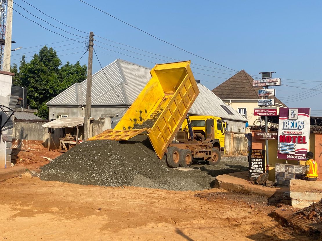
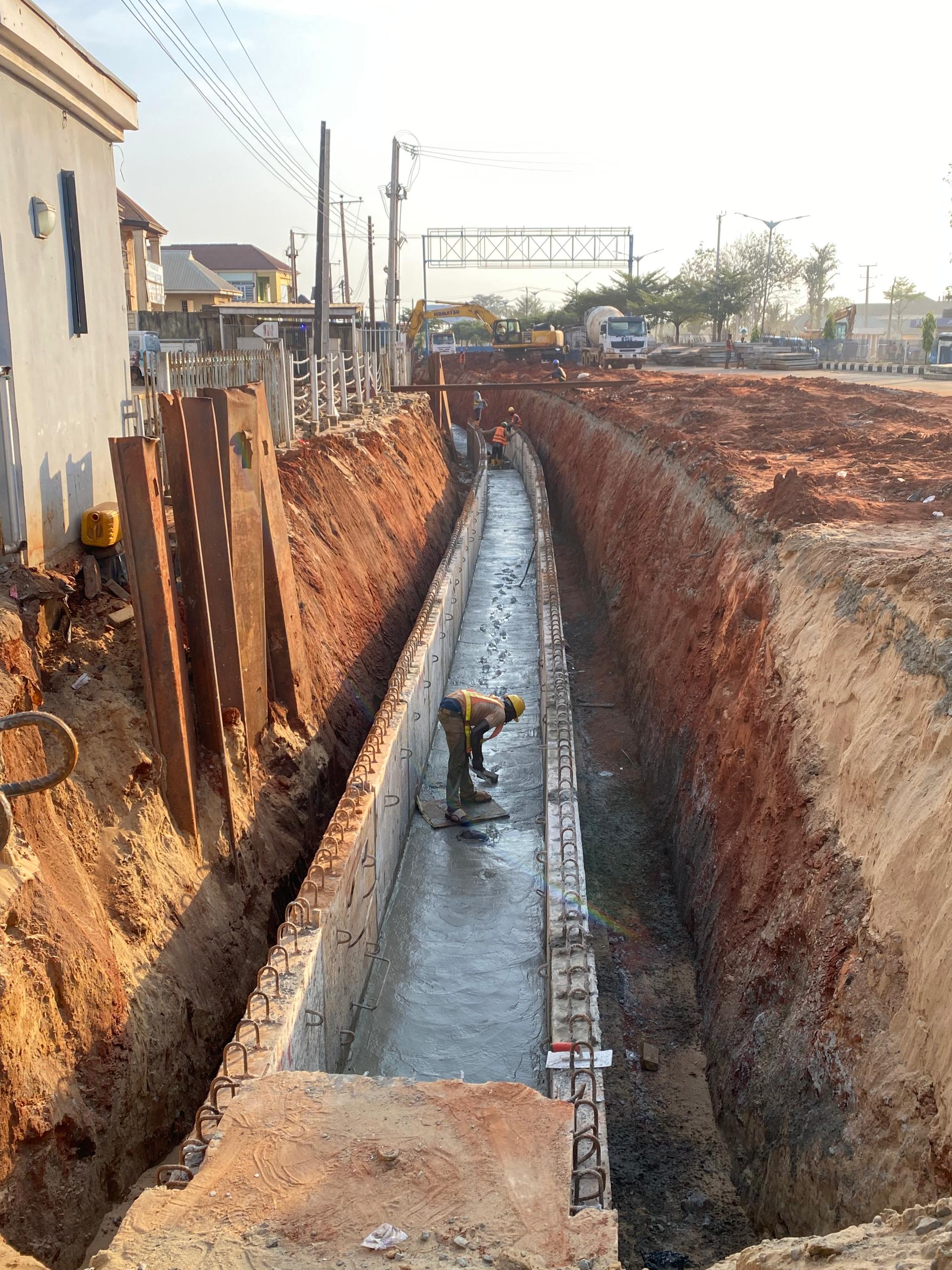
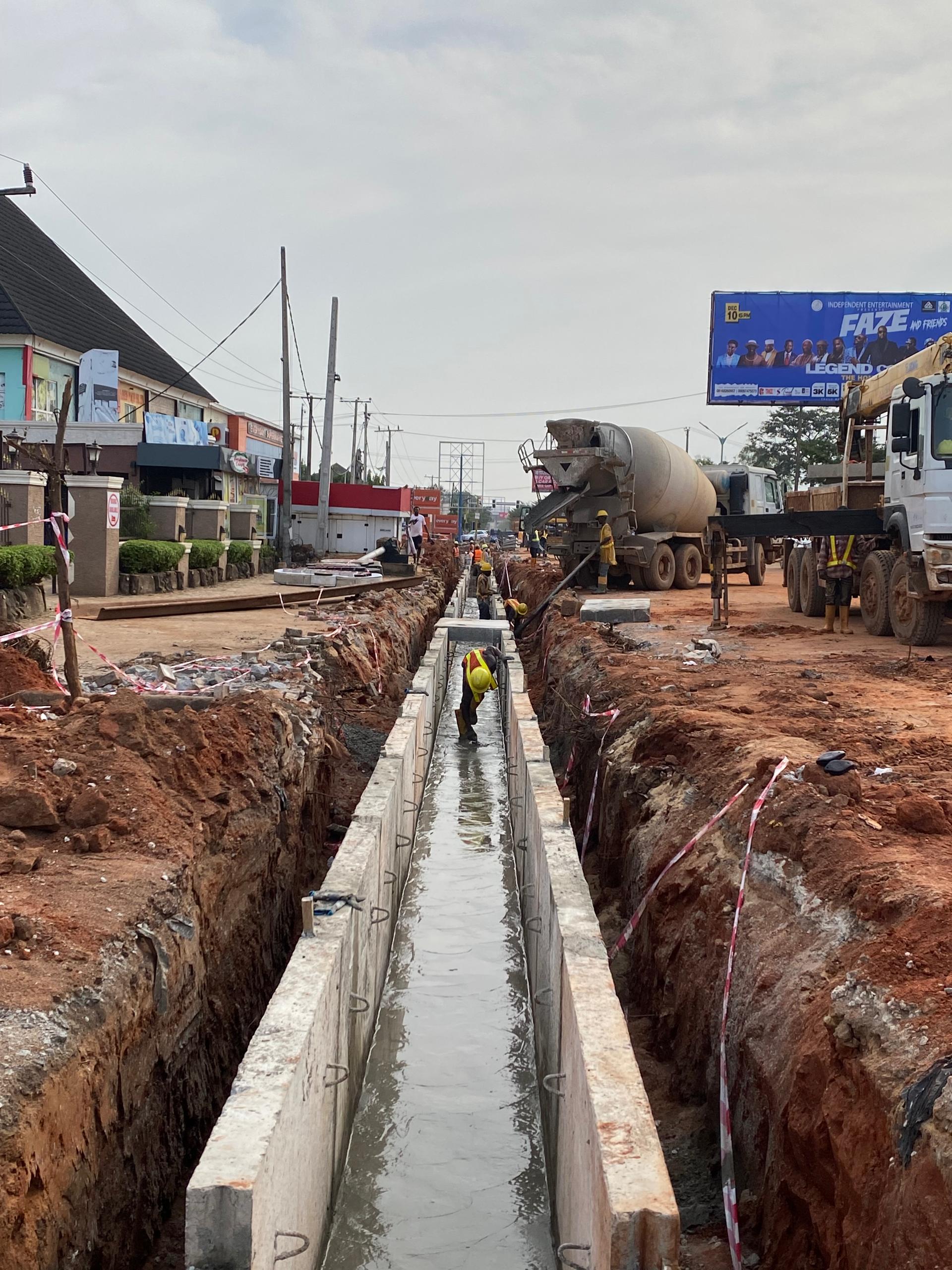
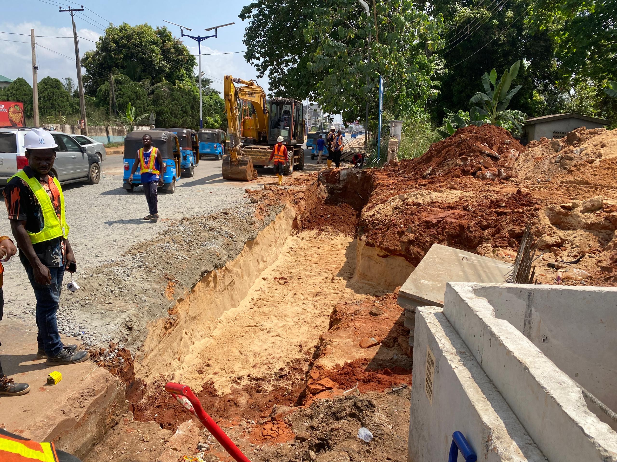
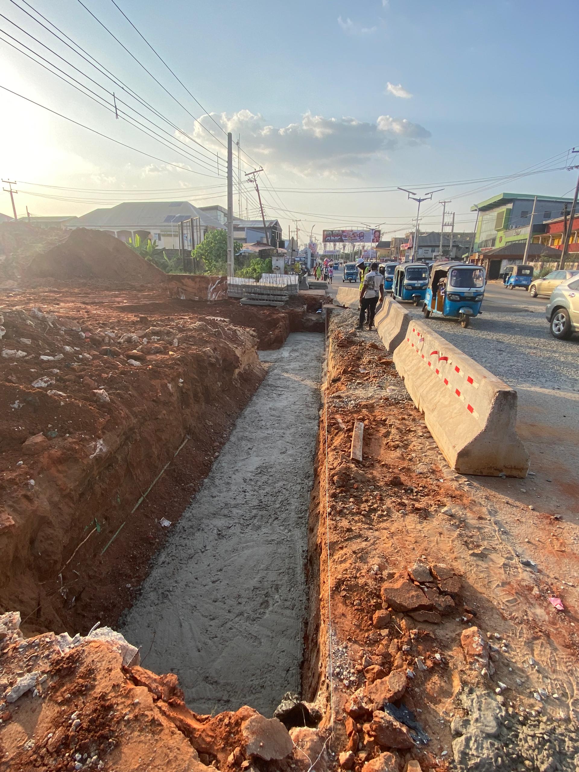
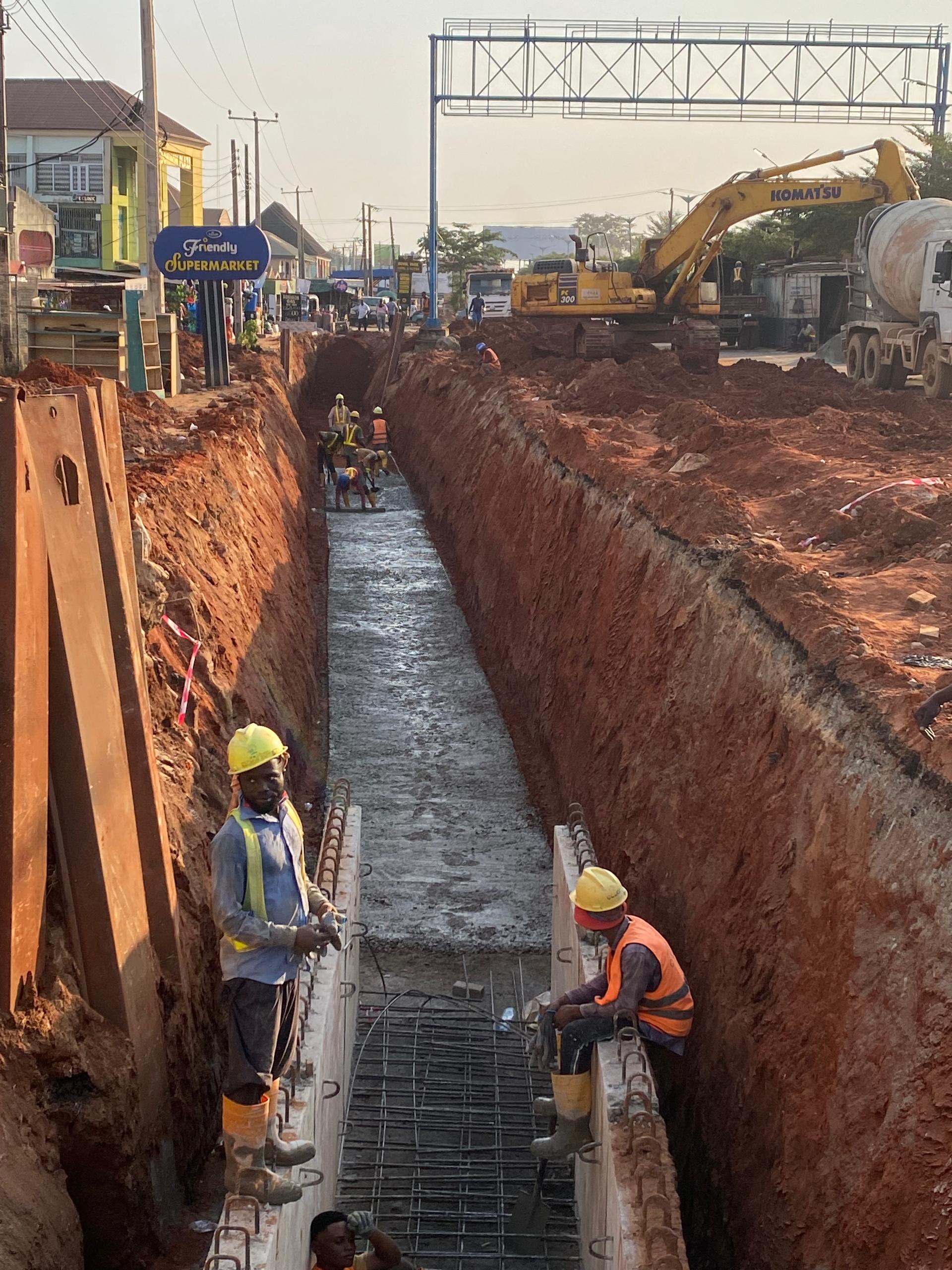
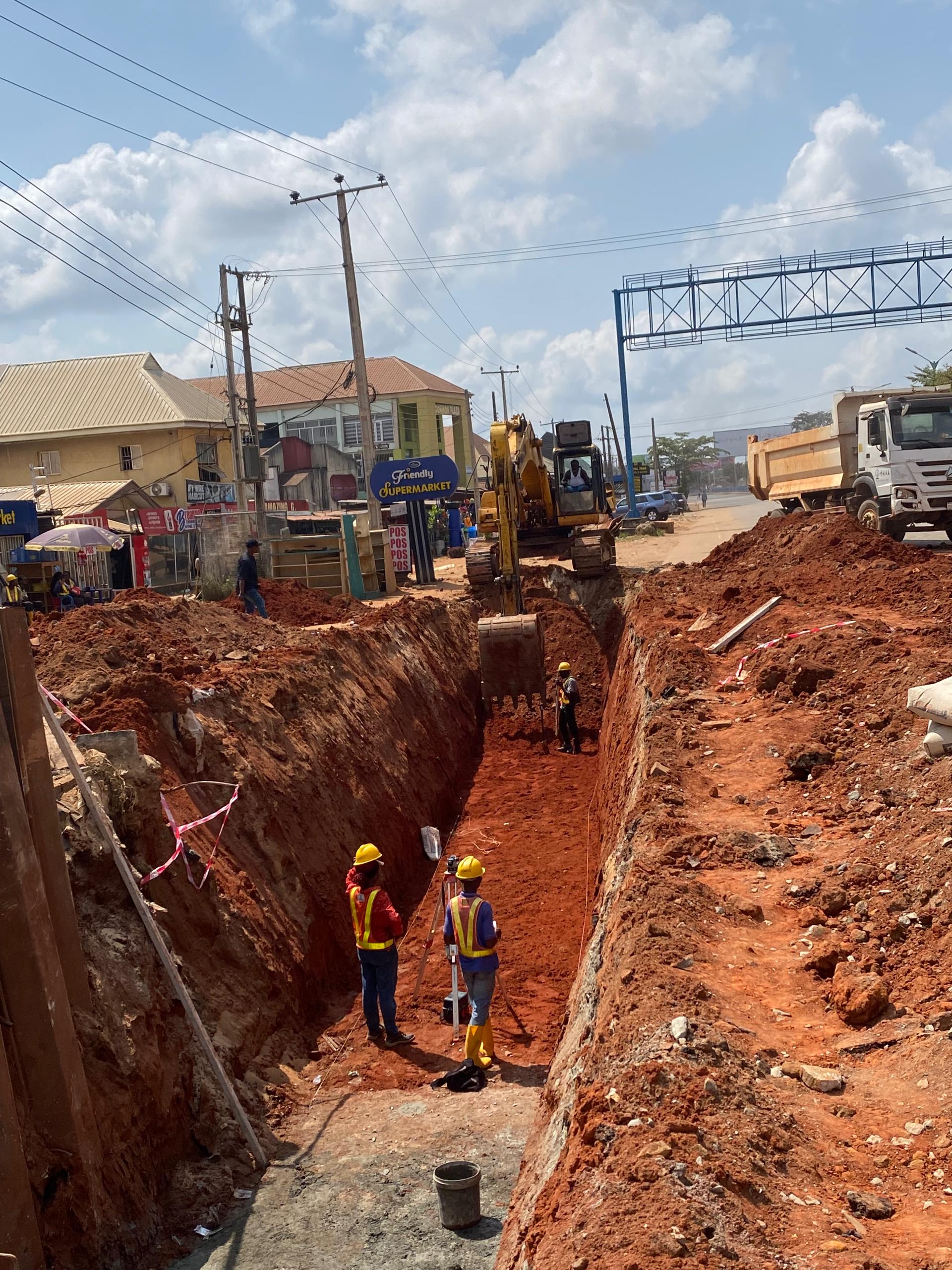
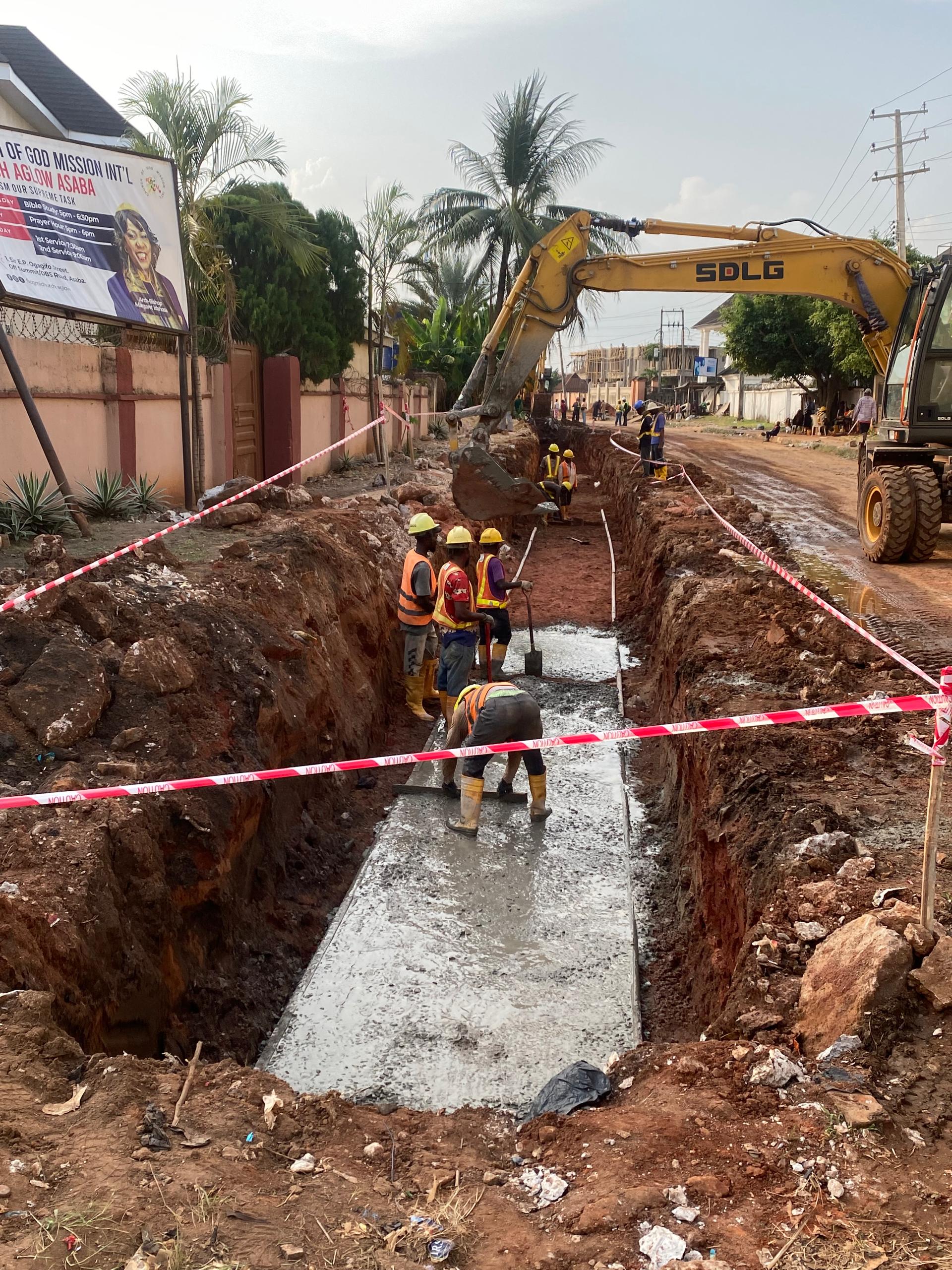
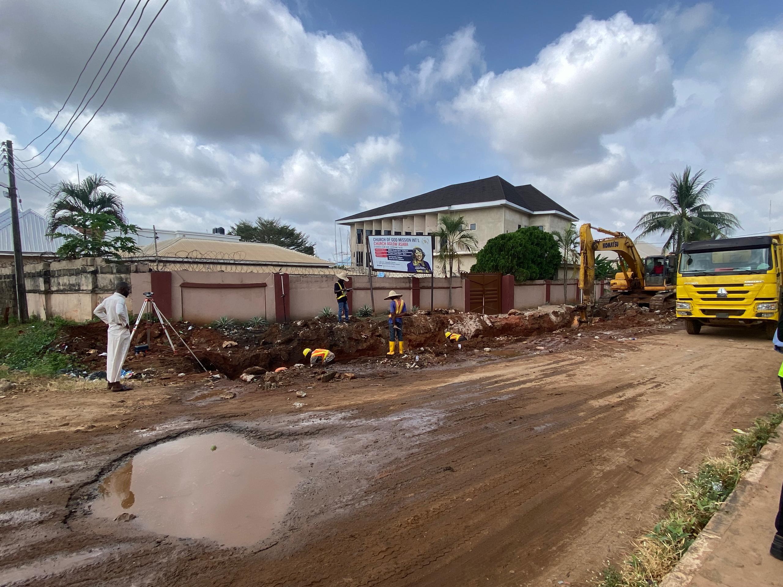
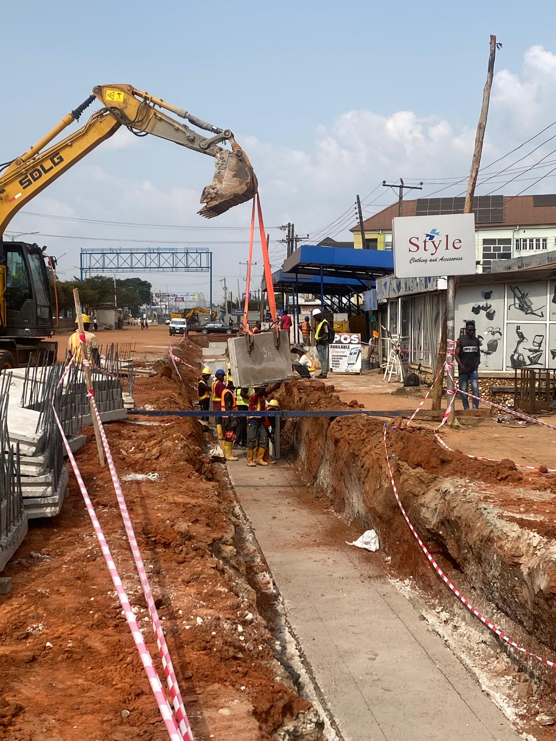
In contexts facing immense growth and climate vulnerability, such as the example of integrating validated GIS/BIM data in high-growth regions like Nigeria, the focus shifts from merely surviving storms to building long-term resilience.
Validated data ensures that investments are targeted correctly. By having accurate models based on verified input data, engineers can optimise stormwater quality control measures (like detention ponds or green infrastructure) and deploy maintenance resources effectively. Robust validation frameworks fundamentally shift the engineering process from a reactive cycle of repair to a proactive system of precision design and preventative maintenance, ensuring that urban drainage assets achieve their design lifespan and remain resilient against the unpredictable pressures of the twenty-first century.
Conclusion: Investing in Data Integrity is Investing in Longevity
The hidden vulnerabilities in urban drainage systems are often not structural failures waiting to happen, but data integrity failures that have already occurred. Data validation errors are the silent assassins of infrastructure longevity, transforming high-cost, long-lifespan assets into premature liabilities.
For municipalities, engineering firms, and infrastructure policymakers, the lesson is clear: treating data collection and validation as a secondary task is a catastrophic oversight. Robust and continuous data quality assurance—enforced through rigorous standards like ISO 19157 and supported by advanced automated tools—is not an optional expense; it is a critical investment in public safety, economic stability, and the long-term resilience of our cities. The future performance of our urban drainage infrastructure depends less on the complexity of the models we run, and infinitely more on the accuracy of the numbers we feed them.
References
1. (https://www.sciencedirect.com/science/article/abs/pii/S0022169413007440)
2. (https://pubs.usgs.gov/publication/70011243)
3. (https://pmc.ncbi.nlm.nih.gov/articles/PMC12222479/)
4. https://www.sciencedirect.com/org/science/article/abs/pii/S2397875925000092)
5. (https://www.maplibrary.org/9968/7-validation-frameworks-for-gis-projects/)
6. (https://www.tandfonline.com/doi/full/10.1080/17538947.2025.2495738)
7. (https://gdiengdesign.com/stormwater-design-failures-liability/)
8. (https://www.linkedin.com/pulse/gis-gigo-garbage-out-30-checks-data-errors-nathan-heazlewood)
9. (https://www.openswmm.org/Topic/15496/large-watershed-model-problems)
10. (https://www.reddit.com/r/civilengineering/comments/1gayc6h/swmm_project_issue/)
11. (https://www.sciencedirect.com/science/article/abs/pii/S2352938521001373)
12. (https://ieomsociety.org/proceedings/2022australia/125.pdf)
13. (https://www.sciencedirect.com/science/article/abs/pii/S0926580521000777)
14. (https://washingtonstormwaterllc.com/blog/construction-stormwater-compliance-mistakes/)
15. (https://ceur-ws.org/Vol-1323/paper27.pdf)
16. (https://repository.lboro.ac.uk/ndownloader/files/59445161/1)
17.(https://jsjs1982.com/upload/portal/20230104/ab884fe93ce606c63406d34eb33699f0.pdf)
18. (https://accscience.com/journal/AJWEP/15/3/10.3233/AJW-180050)
19. (https://pmc.ncbi.nlm.nih.gov/articles/PMC2430044/)